Paul Higgins and his trusty sidekick Whitey authored the program GE2KAP. This free software allows you to make charts with Google Earth overlays. The result is an amazing combination of photo-real land detail and waterways that are navigation charts.
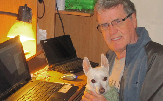
Paul Higgins and Whitey
GE2KAP is not an OpenCPN plugin. This is a stand alone program that allows you to create unique charts that can be used with OpenCPN.
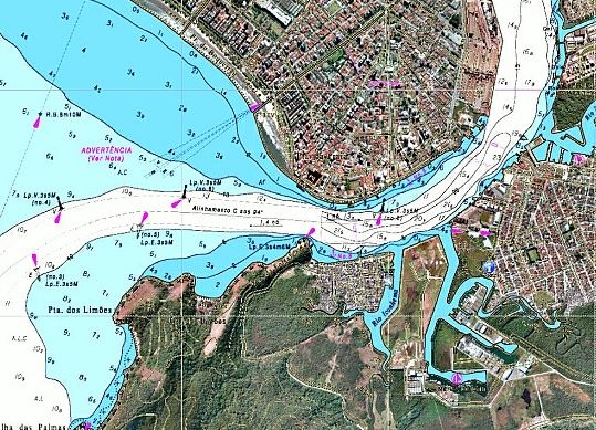
GE2KAP sample chart from Paul’s site.
Video Instruction
Paul created a video series on GE2PAK. These tutorials describe the program and will give you a solid working background.
Please pass on to Paul. Hi Paul, I live in British Columbia Canada and do lot of fishing. One of our challenges now is something call Rockfish Conservation areas, They are all over the coast and you are prohibited from fishing within their boundaries. What I am trying to do is make a closed route in OpenCpn(the interface works great for this), then import this route into my Lowrance HDS7 gps/chartplotter. My problem is the .gpx file that I create in Open CPN is stripped of all colour by the HDS7. I have tried GPS Babel to convert the file to a .usr but the same thing happens. Do you have any ideas? With all the RCA’s on the coast it is very convenient to have them marked on my chartplotter.

Thanks for your comment James.
Paul is active on the OpenCPN forum.
http://www.cruisersforum.com/forums/f134/
LikeLike
Please pass on to Paul. Hi Paul, I live in British Columbia Canada and do lot of fishing. One of our challenges now is something call Rockfish Conservation areas, They are all over the coast and you are prohibited from fishing within their boundaries. What I am trying to do is make a closed route in OpenCpn(the interface works great for this), then import this route into my Lowrance HDS7 gps/chartplotter. My problem is the .gpx file that I create in Open CPN is stripped of all colour by the HDS7. I have tried GPS Babel to convert the file to a .usr but the same thing happens. Do you have any ideas? With all the RCA’s on the coast it is very convenient to have them marked on my chartplotter.
Thanks
James
Comox, BC
LikeLike